
Satellite Imagery Captures Activity at Kharg Island Oil Terminal
Recent satellite observation provides a visual record of the oil terminal infrastructure located on Kharg Island, a key facility in global oil distribution.
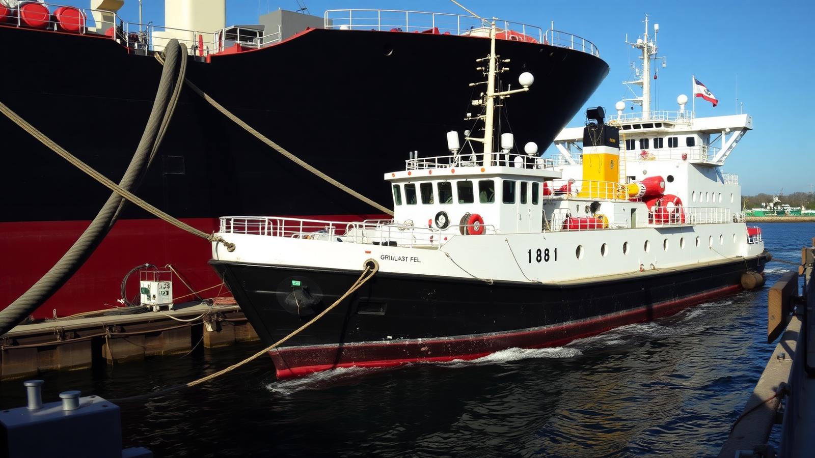
Satellite imagery has captured detailed views of the oil terminal situated on Kharg Island. These images offer an updated perspective on the operational facilities at this significant crude oil export hub. The visual data obtained via satellite underscores the continued presence and function of the terminal infrastructure.
Kharg Island serves as a primary loading point for crude oil, facilitating the distribution of oil to international markets. The terminal's strategic location in the Persian Gulf positions it as a critical component of the global energy supply chain. Its infrastructure is designed to handle large volumes of crude oil for export.
Terminal Operations and Infrastructure
The satellite images provide a high-level overview of the terminal's extensive layout. This includes key components such as storage tanks, loading jetties, and associated logistical infrastructure. Such visual confirmations are routinely utilized by various industry stakeholders for situational awareness and operational monitoring.
Storage tanks visible in the imagery indicate crude oil holding capacity, essential for managing export flows and accommodating production schedules. The presence of multiple loading berths suggests capabilities for simultaneous vessel operations, which is crucial for maintaining efficient export timelines. These elements collectively form the backbone of the island's oil export capabilities.
Broader Context for Commodity Markets
The ability to monitor key energy infrastructure, such as the Kharg Island terminal, through satellite technology offers continuous insights into operational status. For market participants, this type of information contributes to a broader understanding of supply-side factors affecting crude oil availability. Visual data assists in forming assessments related to commodity flows and shipping logistics.
Ongoing observation of such facilities is a standard practice within the commodity intelligence sector. It allows for independent verification of reported activities and supports analytical efforts concerning regional oil export capacities. The imagery serves as a factual data point within the complex landscape of global energy trade and maritime operations.
Related topics
- Oil Terminal
- Satellite Imagery
- Crude Oil
- Energy Infrastructure
- Commodity Trade
- Shipping
Sourcing & attribution
Reported with reference to Google News syndication. View original report
This article is an original Atlas summary produced under our editorial policy with AI drafting assistance and human editorial review. Spotted an error? Request a correction.

Elena Marchetti
Elena Marchetti covers commodity and energy market structure, benchmarks and trade flows for Atlas Commodity Group. She edits the publication's daily market intelligence coverage.